
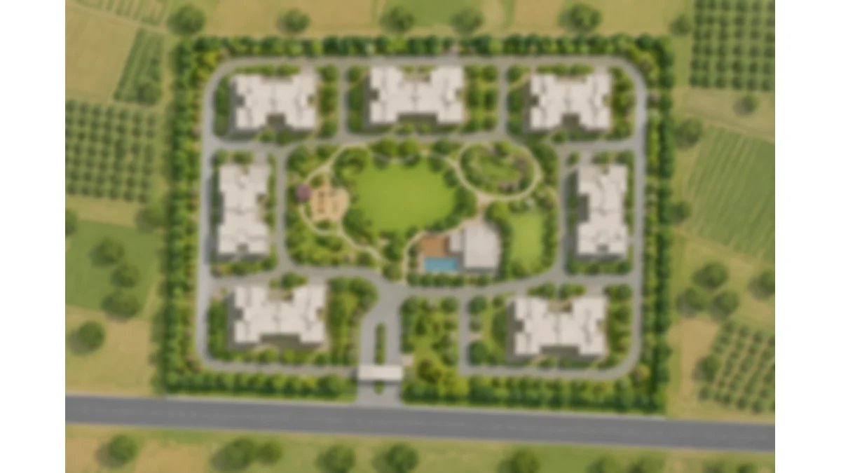
The Sattva Uttari master plan, which shows the site's boundaries, buildings, open spaces, roads and amenities, is released with the launch, together with the land area, the number of homes and the number of towers. What is fixed today is the brief the plan has to meet: 2, 3 and 4 BHK homes of about 1,010 to 2,400 sq ft, a clubhouse with a pool, outdoor courts and a jogging track, a central garden, and services such as rainwater harvesting and a sewage treatment plant, on a site in Uttari village about 3.3 km off Kanakapura Road. This page explains what the plan will need to show and how to read it when it arrives. For another Bengaluru planning reference, Sattva Varthur Road helps keep attention on density, circulation, landscape depth, and the way residents will move through the community.
Sattva Uttari Site Facts Today
| Item | Status |
|---|---|
| Village | Uttari, Bangalore South taluk, PIN 560082 |
| Position | About 2.4 km west of Kaggalipura; about 3.3 km by road from Kanakapura Road |
| Surroundings | Orchards and farmland, with new housing projects starting nearby |
| Exact site and survey numbers | To be announced |
| Land area | To be announced |
| Number of homes | To be announced |
| Towers and floors | To be announced |
| Open space and green cover | To be announced |
| Approach road | To be announced |
What the Brief Asks of the Site
The amenity programme already tells us something about the space the plan must find room for. A tennis court, a badminton court, a cricket practice net, a jogging and cycling track that loops the community, a swimming pool with a children's pool, an amphitheatre with an event lawn and a central garden are all ground-level uses. Together they need a generous share of open land on natural ground, not just a podium deck. When the plan is released, the first thing to check is whether these sit in one connected landscape or are scattered into leftover corners between buildings.
The homes ask something too. A mix weighted towards family homes, with 3 BHK and 4 BHK plans of up to 2,400 sq ft, works best with fewer homes per floor, two or more sides of windows for each home, and enough distance between towers for light and privacy.
Reading Density in the Sattva Uttari Master Plan
Density, the number of homes per acre, is the single number that best describes how a community will feel. Once Sattva announces the land area and number of homes, divide one by the other.
| Homes per acre | What it usually feels like |
|---|---|
| under 50 | low-density; more open ground per family; often fewer, lower towers |
| 50 to 80 | mid-density; typical of branded high-rise communities in Bengaluru |
| over 80 | high-density; amenities and lifts shared by more households |
Density on its own is not good or bad. A higher-density plan can still give every home a view of open space if the towers are arranged well, and a lower-density plan can waste its land. Use it together with the open-space share and the tower spacing.
Towers, Spacing and Orientation
When the tower layout is released, look for:
- Spacing between towers. Wider gaps give more light and privacy, especially on lower floors.
- Orientation. In Bengaluru, homes whose main rooms face north and east stay cooler in the afternoon. Long west-facing walls take the heat.
- Homes per floor and per lift. Four homes sharing two lifts on a floor is comfortable; more homes per core means more waiting at peak hours.
- What each home looks at. The central garden, the clubhouse, open country to the west, or the next tower.
Entry, Roads and Circulation
Uttari is reached on village roads from Kanakapura Road. The plan's entry and exit points, and the road that brings residents to them, will shape daily life more than any amenity. Check:
- The approach road. Its width from Kanakapura Road to the gate, and whether Sattva is widening or building any part of it.
- Separate entry and exit. Two gates, or one gate with separate lanes, keep the morning school run moving.
- Vehicle-free ground. Whether cars go straight down to basement or podium parking near the gate, leaving the garden for people.
- Fire access. A drivable fire tender path around each tower is a planning requirement; check it on the plan.
- Drop-off and visitor parking. A covered drop-off and visitor bays near the entrance.
- Service access. Where deliveries, garbage collection and the sewage treatment plant are placed, ideally away from homes.
Landscape and Green Cover
A master plan for a family community near the green belt should treat landscape as the main event. Look for:
- The share of the site that is landscaped, and how much of it is on natural ground where trees can grow to full size.
- The number of existing trees kept and new trees planted.
- A central garden that every tower can reach without crossing a road.
- Shade over walking paths, play areas and the senior citizens' court.
- How the jogging track threads through the landscape.
Uttari's setting helps. With orchards and farmland around the village and Agara Lake, Thataguni's lake and Kuppareddi Kere within about 6 to 7.5 km, the land around the site is still open. Ask how the land around the site is zoned, so you know whether the open outlook from the west-facing homes is likely to last.
Water, Power and Waste in the Plan
The services planned for Sattva Uttari have to appear on the master plan:
- Rainwater harvesting, with storage tanks and recharge pits.
- A sewage treatment plant, with treated water reused for flushing and landscaping.
- An organic waste converter for wet waste.
- Power backup for homes and common areas, with the generator yard placed away from homes.
- Solar-assisted lighting in the common areas.
Check where each sits on the plan and how far it is from the nearest homes. A village site also needs a clear water plan: ask for the source, storage and treatment of drinking water in writing.
Phasing
Larger communities are often built and handed over in phases. If Sattva Uttari is phased, the plan should show which towers come first, when the clubhouse and main amenities are ready, and how construction traffic for later phases is kept away from the homes already occupied. The K-RERA registration will show whether the project is registered as one phase or several, each with its own completion date.
Sattva Uttari and the Land Around It
Uttari lies west of Kanakapura Road, with Kaggalipura to the south-east, Udayapura to the east, Banjarapalya and Agara to the north and Somanahalli to the south. New housing projects are being built around Kaggalipura, so the area will change over the next few years. Ask Sattva for:
- The land use of the plots next to the site.
- Any road widening planned on the approach road.
- The distance to the nearest high-tension line, quarry or industrial use, if any.
What to Check in the Sattva Uttari Master Plan
| Check | Why it matters |
|---|---|
| Land area and number of homes | Gives the density |
| Open space on natural ground | Decides how green the community will feel |
| Tower spacing and orientation | Light, privacy and heat |
| Homes per floor and per lift | Daily convenience |
| Entry, exit and approach road | The commute starts here |
| Amenity placement | Whether the garden and courts form one landscape |
| Service areas | Noise and smell from the STP, generators and waste |
| Phasing | When your tower and the clubhouse are ready |
| Sanctioned plan | Must match the plan registered with K-RERA |
Sattva Uttari Master Plan Next Steps
Register on the contact page to receive the Sattva Uttari master plan as soon as it is released. When the project is registered, compare the marketing plan with the sanctioned plan uploaded to the K-RERA registration; the sanctioned plan is the one that counts. For the homes themselves, see the floor plans.
Sattva Uttari Master Plan FAQs
When will the Sattva Uttari master plan be released?
With the launch, together with the land area, the number of homes and towers, and the K-RERA registration. Register interest to receive it as soon as it is out.
What is the land area of Sattva Uttari?
The land area is to be announced with the master plan. Sattva Uttari is a project of its own at Uttari village and does not share land with other Sattva projects in the corridor.
Where exactly is the Sattva Uttari site?
In Uttari village, Bangalore South taluk, about 2.4 km west of Kaggalipura. The exact site and survey numbers are published with the K-RERA registration.
How dense will Sattva Uttari be?
Density depends on the land area and the number of homes, both to be announced. Divide homes by acres when they are released: under 50 per acre is low-density, 50 to 80 is typical of branded high-rise communities in Bengaluru.
How will residents reach Sattva Uttari from Kanakapura Road?
By village road from Kaggalipura, about 3.3 km from the centre of Uttari. The approach road and gate positions are shown on the master plan; check the road's width on a site visit.